Page History
...
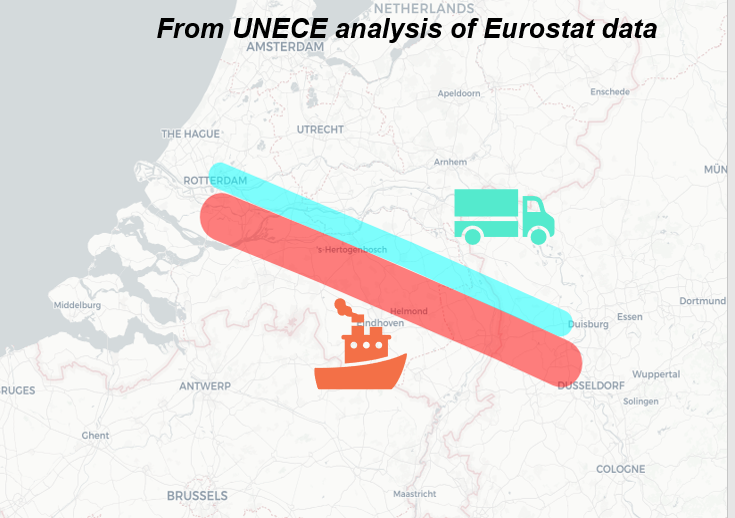
Combining data for multiple modes would be a logical next step in this analysis. This would allow modal split calculations to be done for specific corridors (like in the picture below), allowing identification of modal shifting opportunities to less polluting and safer modes for both passenger and freight transport.
Resources
Much of the geospatial analysis needed to produce the route maps above uses the sfnetworks and stPlanR packages in R. The transport chapter of Geocomputation with R is a good place to start work on this topic.
Overview
Content Tools
Apps